
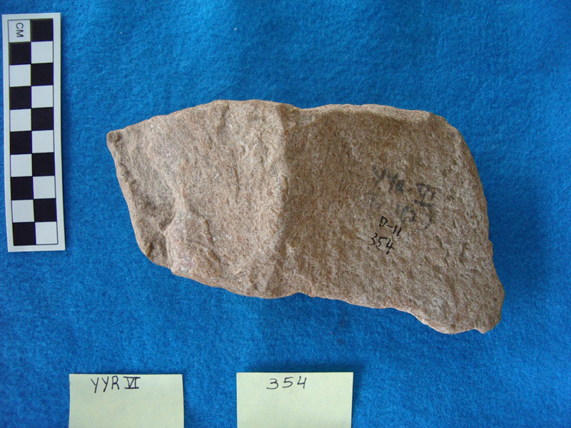
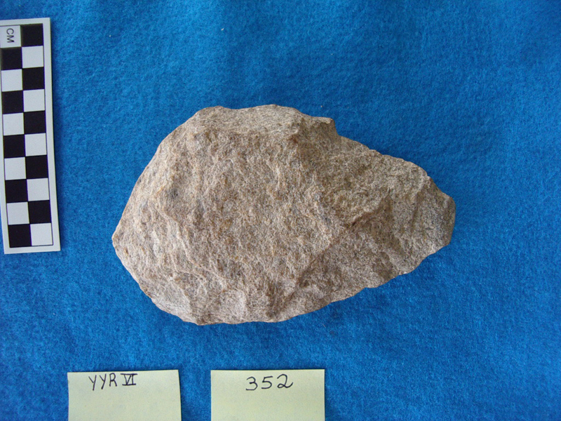
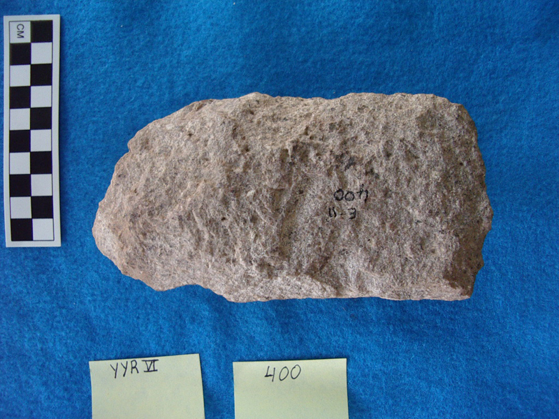
More tools photos are available
Yediyapur Locality IV
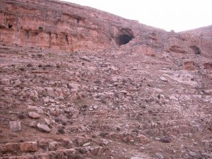
Location – Baichbal Valley, Gulbargai District of Karnataka, South India. Coordinates 16°36″N and 76°33″E (Paddayya, 1987).
Elevation above Sea Level – 443 m.
History of Research – An irrigation trench exposed a rich Acheulian site at this locality in 1985. Excavations were directed by K. Paddayya during January and February 1986.
Excavated Area – Trench I, measuring 10 m on an east-west axis by 5m on a north-south axis, were excavated. Additional test pits were dug at various locations around Trench I.
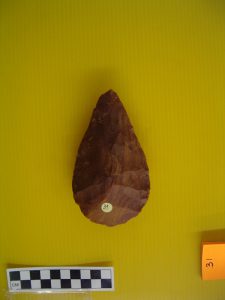
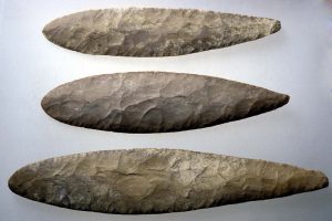
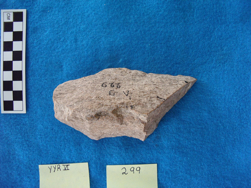
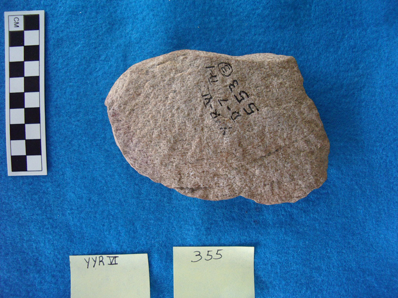
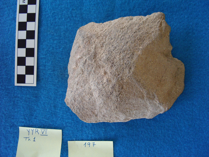
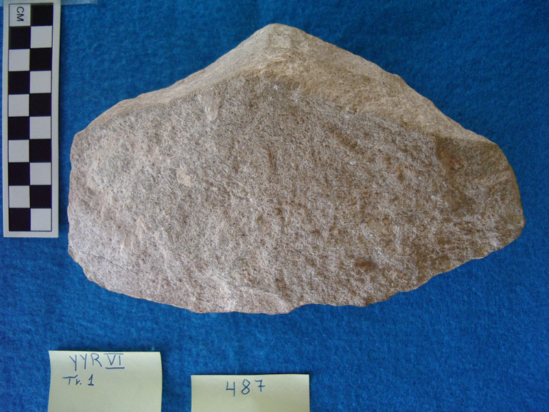
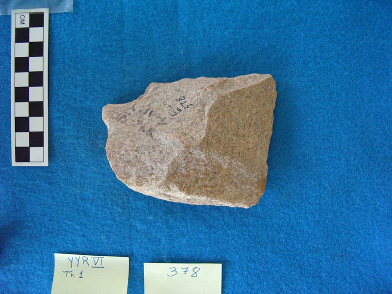
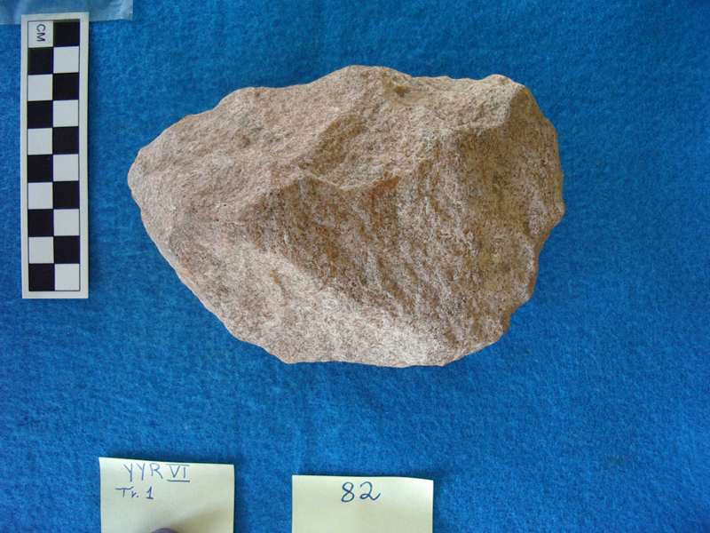
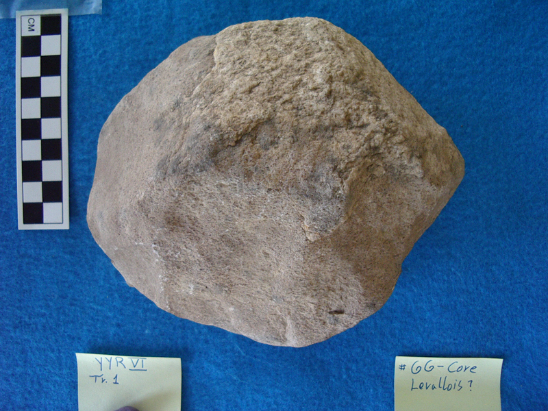
Geology of the vicinity – “The valley is enclosed by hills of Dharwar schist on the east and by low shale limestone tablelands on the remaining three sides. The valley floor itself is made up of granite gneiss” (Paddayya 1987, 611). The geological formations in the area constituted a diverse source of raw material for the Acheulian knapper. Large boulders of limestone, dyke dolerite, coarse-grained rocks like granite and schist, and even chert are all common in the region (Paddayya 1991, 113).
Stratigraphy – The site was estimated to extend over 100 m2 (Paddayya 1987, 612). Its surface black “cotton soil”, which typifies the area, is suitable for agriculture. The upper layer comprises loose brownish topsoil, 10–15 cm thick. It covers a one-meter layer of clay. In this clay, a “clear-cut Acheulian horizon” was excavated in two digging levels (upper and lower). The Acheulian artifacts were embedded in “an extremely hard matrix of whitish/light brown gruss, derived from the disaggregation and weathering of granite gneiss” (Paddayya 1987, 612). There is every indication that the artifacts were found in situ.